GPR & Drone Survey Services
Advanced Subsurface & Aerial Survey Solutions
We provide GPR and Drone Survey services that deliver accurate, reliable, and non-invasive data for planning, inspection, and analysis. By combining ground-penetrating radar with high-resolution aerial surveys, we help clients visualize both what’s below the surface and above the ground—safely and efficiently.
Our solutions reduce risk, improve decision-making, and support projects of any scale.
Ground Penetrating Radar (GPR)
See Below the Surface Without Excavation
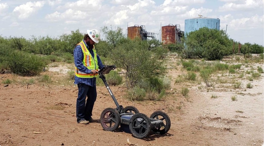
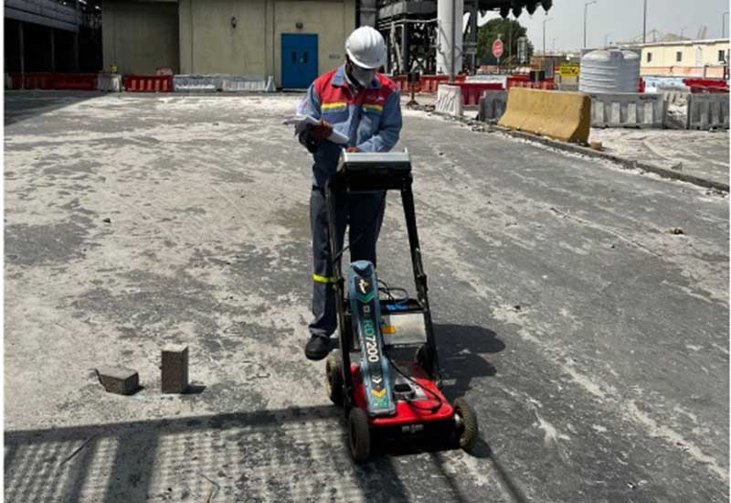
GPR is a non-destructive technology used to detect and map subsurface features such as utilities, voids, foundations, rebar, and buried structures. It allows accurate investigation without disturbing the site.
Applications include:
Industries
Industries We Serve
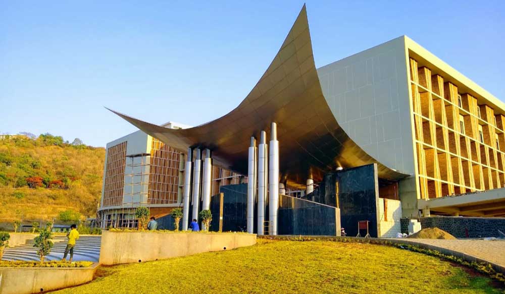
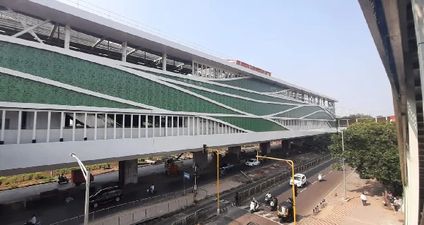
Architecture & Engineering
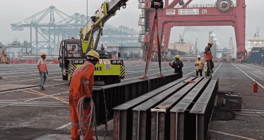
Port
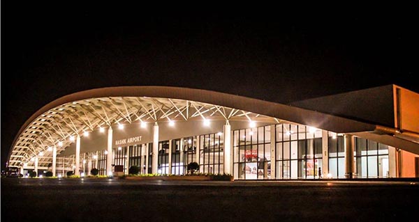
Airport
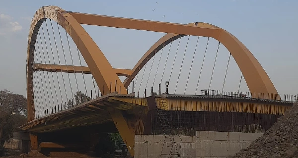
Bridges & FOB
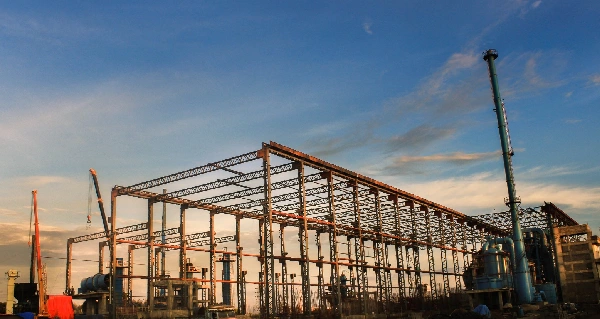
Plant Design and Engineering