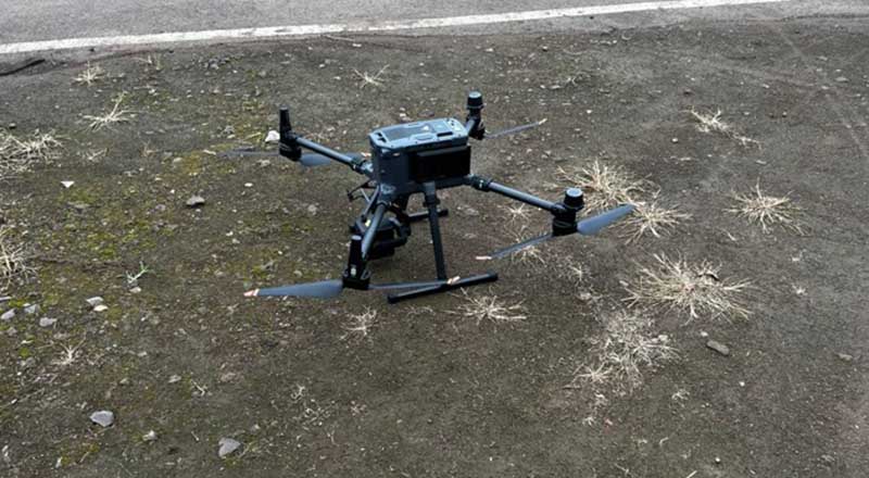
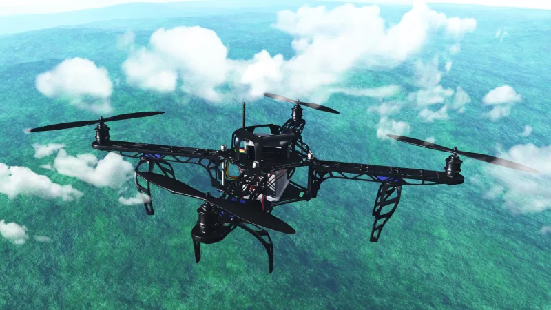
Drone Surveys
High-Resolution Aerial Data Capture
Our drone surveys deliver precise aerial data using advanced UAV technology. Drones capture high-resolution imagery, video, and geospatial data quickly and safely, even in hard-to-access or hazardous areas.
Include
Application Include
Industries
Industries We Serve

Architecture & Engineering
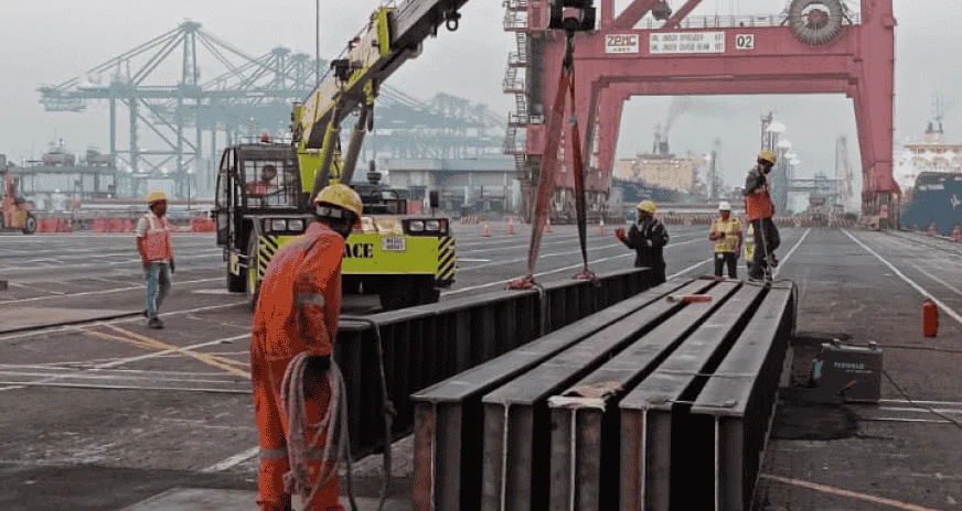
Port
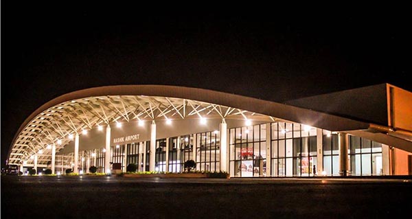
Airport
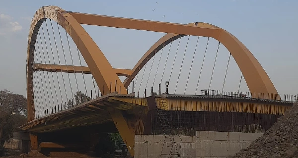
Bridges & FOB
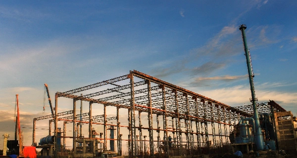
Plant Design and Engineering
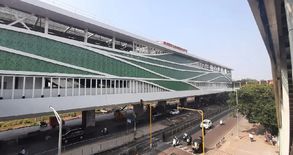
Metro & Railway
Benefits